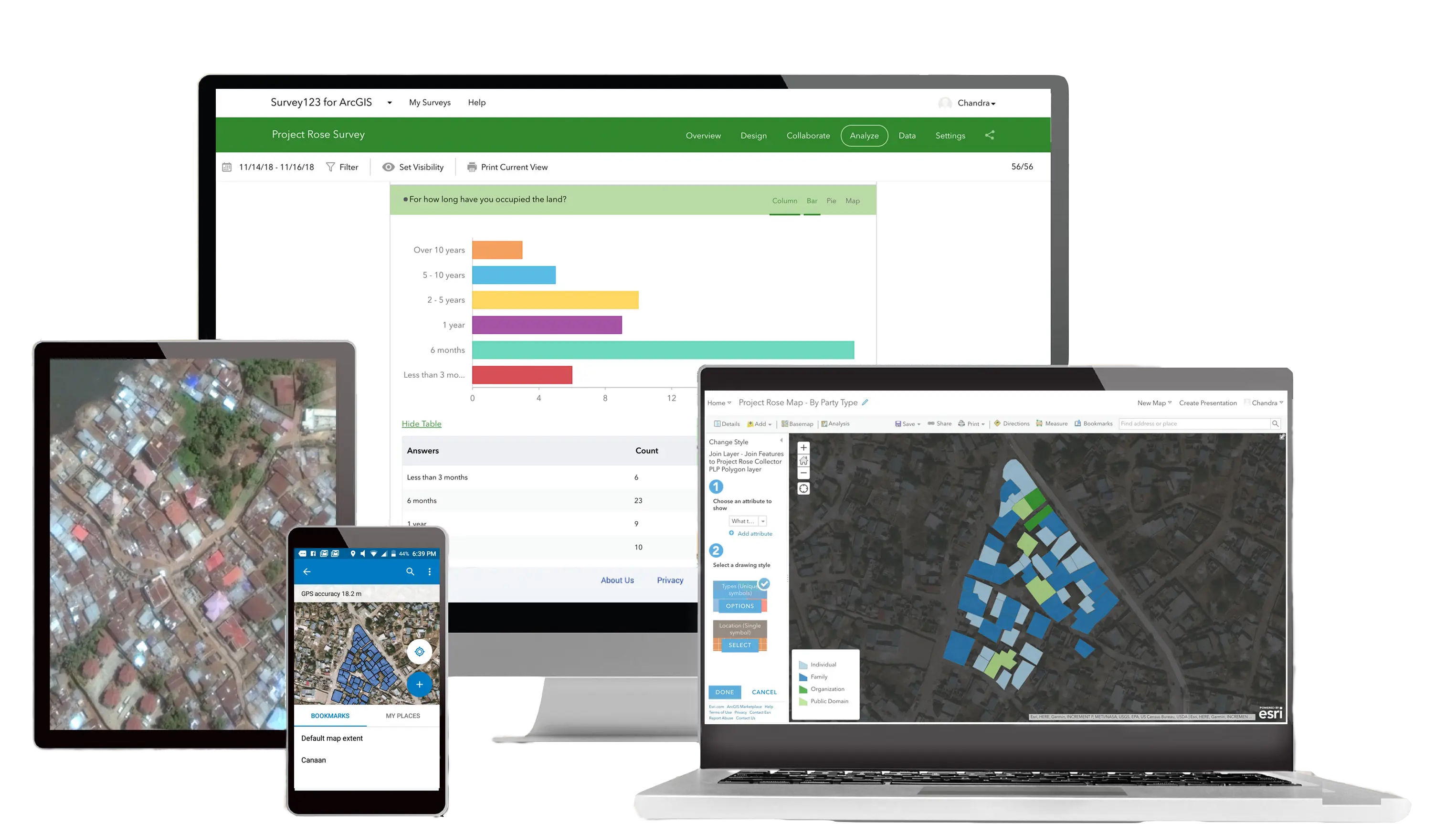
Cadasta offers an open and flexible suite of mobile and web-based tools designed to help users collect, manage, and store land and resource rights data.
Explore our metrics and data
Learn MoreGet the latest platform updates and news
Learn MoreLearn how to use our platform, tools, and services
Learn MoreCheck out our Frequently Asked Questions
Learn MoreAn accessible and flexible suite of mobile and web-based tools designed to help users collect, manage, store, and analyze land and resource rights data.
Collect data quickly and easily while on- or offline using GPS-enabled smartphones and tablets in remote field locations.
Access the world’s leading online imagery collection containing detailed global geospatial content and data layers.
Choose from a wide variety of basemaps sourced from OpenStreetMap, DigitalGlobe, Esri, and others.
Create an interactive display of geographic information using web maps and other visuals to tell stories and show impact.
Prepare custom surveys in multiple target languages.
Get real-time updates of data with dashboard-style maps, graphs, and statistics.
Create and print property reports and thematic maps using your data.
Easily import and export data to and from the Cadasta Platform.
Create custom mapping content through guided design to display and analyze data on any device without writing code.
Customize reports to summarize and display survey data to specific requirements.
Quickly search through large amounts of data.
Easily measure and capture the area of collected data.

Data collection technology and expertise to help you efficiently and securely collect, store, manage, and share land and resource data.
Customize your own data collection forms, the type of data you collect, and how data types relate to one another.
Securely store and protect your data from loss, breach, or damage on Cadasta’s cloud-based platform.
Maintain full ownership of your data and control who can and cannot access, view, or edit it based on Cadasta’s stringent privacy protocols.
Select from vast libraries of imagery and data layers to view demographic, thematic, and cartographical information.
Easily import or export data to and from the Cadasta platform to edit, update, analyze, visualize, and report on datasets.
Store and organize various data types to document land claims, including GPS coordinates, satellite, radar, or drone imagery, digital maps, video, photographs, scanned paper documents, and other supporting information.
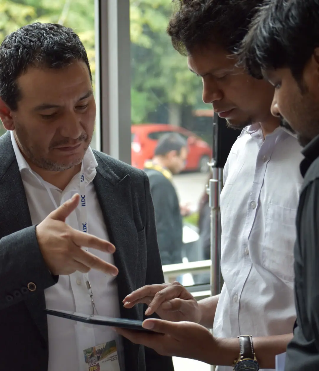
Land information systems expertise to support your efforts to document and secure land and resource rights.
Knowledge and expertise in international standards and best practices for land administration and information management.
Training of trainers and users in the collection, management, and use of land information data using digital technologies; training on participatory mapping, land dispute resolution, and gender approaches to land tenure.
Support in designing data-collection forms and workflows.
Guidance and advice on hardware and software options for survey and geospatial data collection and analysis.
Tailored on-the-ground and remote technical support for data digitization and migration, data collection workflow and form design, and creation of custom reports and maps.
Collaboration on how to define, visualize, and share your story and data to advocate for land rights and access to services.