Enabling Systems Change to Secure Indigenous & Community Land and Resource Rights
The Strengthening Land and Forest Rights Program is an exciting, innovative global program that channels direct and timely support to rights holder communities working to secure and monitor their ancestral forest land and resource rights. Launched in February 2023 with support from UK International Development from the UK government and implemented by Cadasta Foundation, the program advances the United Kingdom’s commitment to the COP26 Forest Tenure Pledge by directing resources to Indigenous Peoples, Afro-descendant Peoples, and Local Community organizations fighting for their territorial rights in Asia, Africa, and Latin America.
Recognized as the best stewards of intact forest landscapes and biodiversity, Indigenous Peoples, Afrodescendant Peoples, and Local Communities, (IPs, ADPs and LCs) manage 22% of the world’s total carbon in forests and 50% of the world’s lands. Yet they only have legal recognition of 10% of these lands. Furthermore, they are on the frontlines of the climate crisis while facing growing illegal land grabs and environmental destruction. Research shows that legally recognizing tenure rights leads to better forest protection, reduced carbon emissions, and greater resilience against climate change. More than ever, there is a need for tools and support to secure territorial rights as a key strategy for protecting and sustaining the world’s most important ecosystems.

The program offers a community-led, action-oriented approach to strengthening community land tenure at scale by focusing on more effective technical implementation on the ground. The program helps communities take control of their land tenure and monitoring efforts in four key ways.
Four Key Strategies
Program Goals

How it Works
Indigenous, Afro-descendant, and Local Community partners work with Cadasta to define their priorities and projects. Cadasta delivers direct resources to partner-led projects in the form of technology, training, technical support, and grants to demarcate territorial boundaries, collect participatory community data, and manage their own land data in real time. This promotes sustainable governance and equitable land distribution, strengthens local governance, and fosters inclusive decision-making.
Data collected through participatory, community mapping are not only critical for formal land recognition, but also for community decision-making on land use, biodiversity protection, and conservation. Cadasta’s Geographic Information System (GIS) platform also provides partners with on- and offline mobile data collection applications that are fully integrated with satellite imagery and data data visualization, analysis, and storytelling tools. Training is tailored to the partner’s needs, based on the country context, the government’s required data specifications, existing GIS capacity and tools, and scope of field operations.
With expertise in land administration and information systems, Cadasta is able to provide partners with technical guidance on data models, workflows, and accuracy requirements that meet government standards and requirements for land recognition. The program also offers partners opportunities to share their results and impact stories and results through webinars, events, articles, and discussions.

The program’s holistic approach not only facilitates the technical aspects of land rights documentation but also champions the broader goal of achieving global land tenure security at scale and contributing to global resource and forest conservation goals.
Program Progress
This dashboard shows the program’s progress in realtime, with metrics on the number of participating communities, the number of hectares documented and recognized, and the number of people to date registered on the platform.

Project Profiles
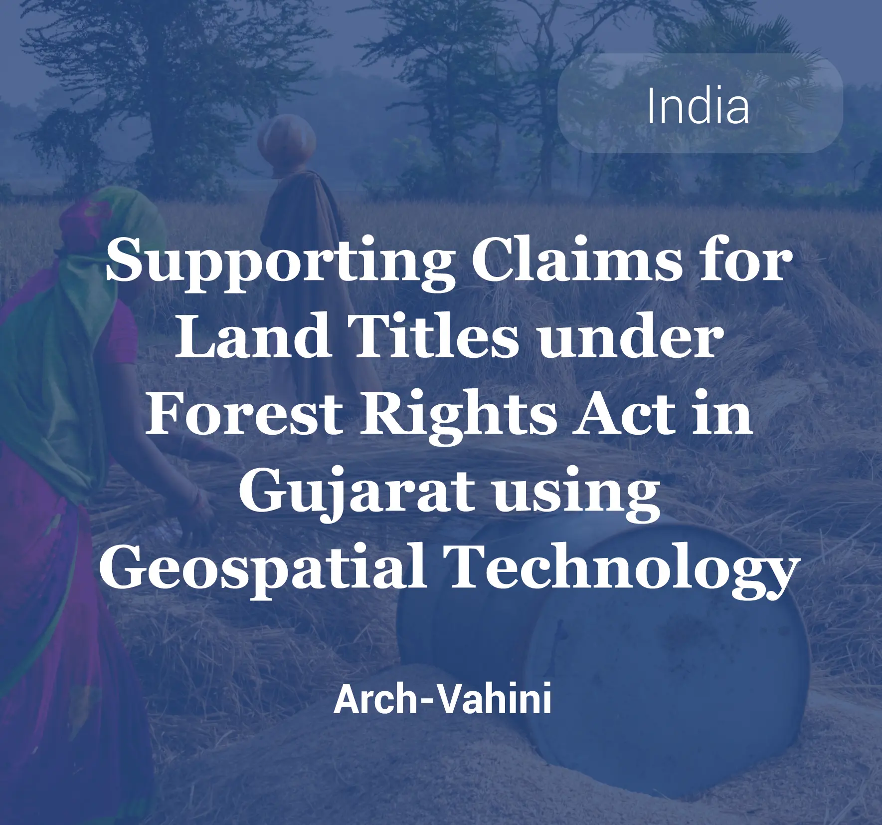
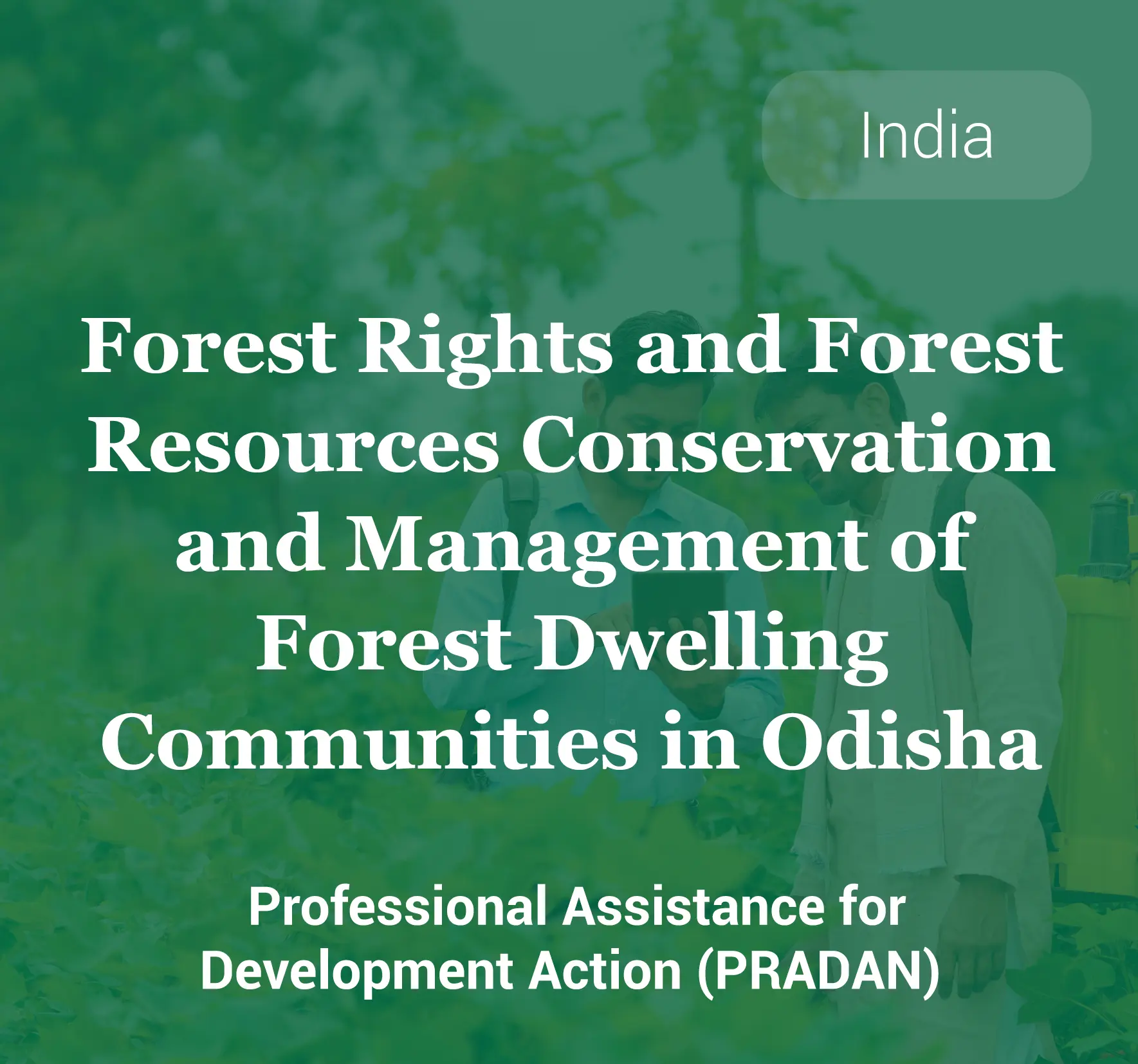
Asia
Africa
Latin America
Program Outcomes
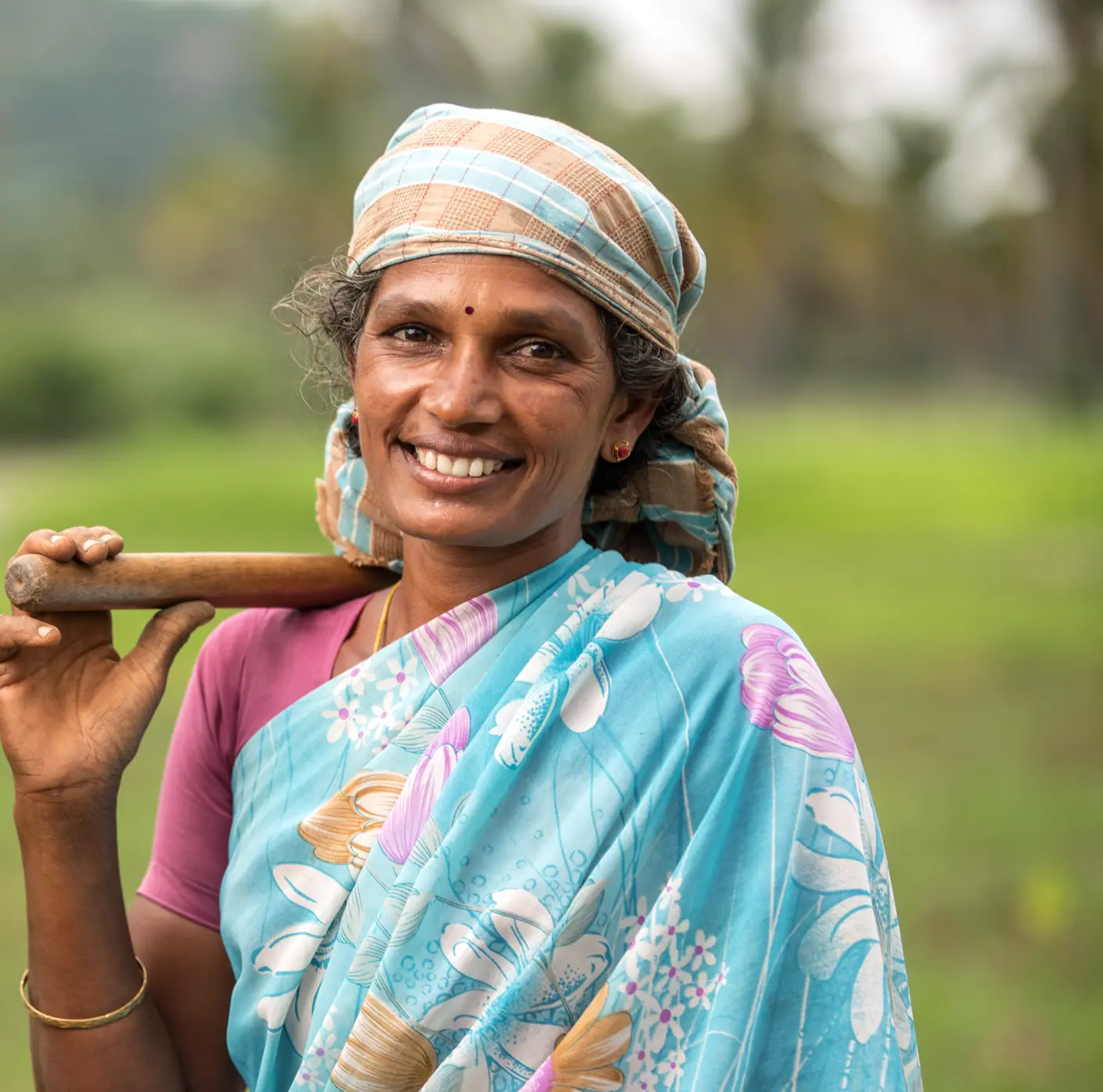
The program has made significant strides in securing land tenure rights for IP, LC, and ADPs, with a particular focus on empowering women. This increase in security enables communities to protect their land-based livelihoods and invest in sustainable land management practices.
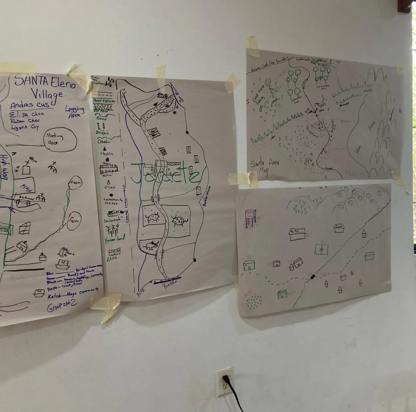
The program has significantly increased the capacities of IP, LC, and ADP organizations. These groups are now better equipped to document, map, control, and manage their land, resources, and related data, as well as to and land projects with increased capacities to document, map, control, and manage land, its resources, and related data for their decision-making and to manage funding for their ongoing efforts.

Through the process of and claims submissions and recognition, the program is designed to contribute to more transparent, agile, inclusive, and equitable land administration systems that are better positioned to address the land tenure and protection needs of IP, LC, and ADPs.
This program is funded by UK International Development