Building a Caribbean Task Force Tool for the Disaster Risk Reduction and Response Program
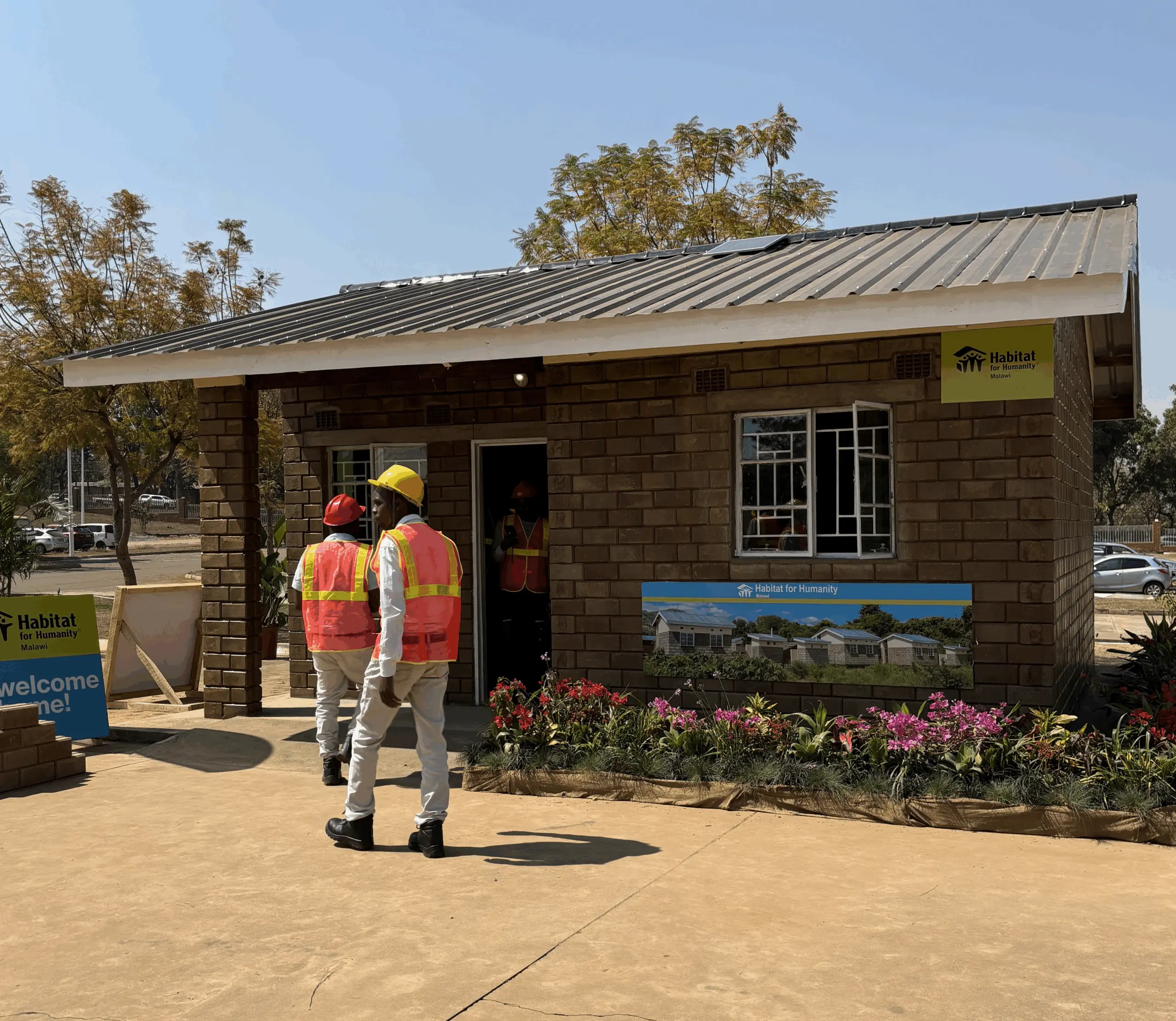
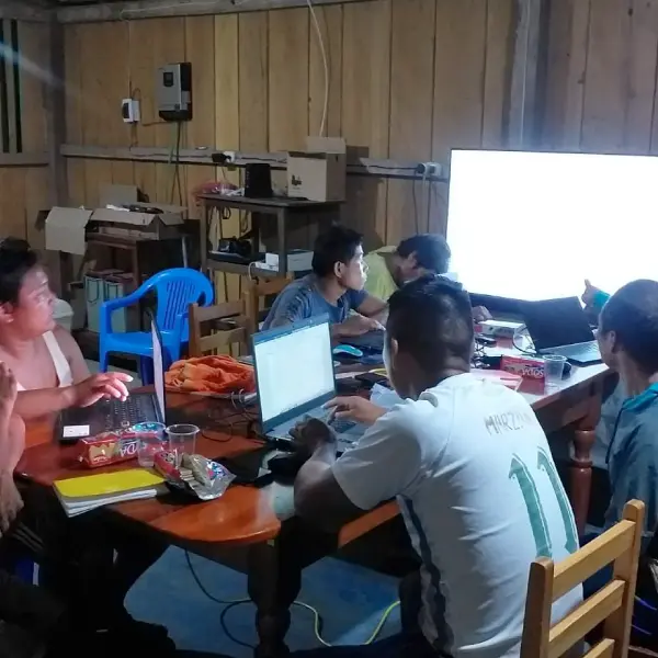
(2021 – 2026) Cadasta and Habitat For Humanity (HFH) LAC are modernizing disaster response and housing resilience in 10 countries through robust data infrastructure. Under the DR3 strategy, they deployed real-time survey tools and dashboards to monitor recovery and reconstruction. They also strengthened the regional “100 Mil Pisos para Jugar” (100,000 Floors to Play On) campaign by standardizing and visualizing household data. Together, they are shifting from reactive relief to proactive, data-driven resilience and housing justice.
Scaling Community Land Rights in Uganda with Rising Tide Foundation
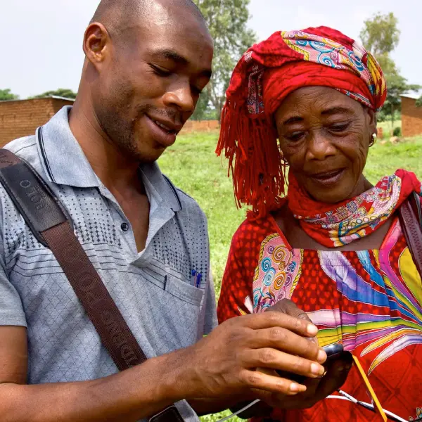
In Uganda, Cadasta partnered with MLHUD to document 8,000+ customary land claims and integrate Certificates of Customary Ownership (CCOs) into the national land information system. The project supports tenure security for rural communities, especially women (77% of titles include women’s names), and trains local officials to scale this tech-enabled model nationwide. Ultimately, the goal is to reach 450,000 people with secure land documentation.
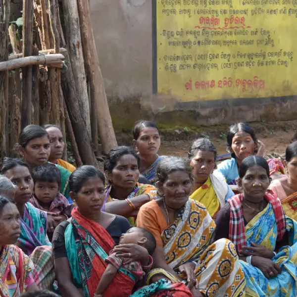
(2023 – 2026) - The Strengthening Land and Forest Rights Program is a global initiative led by Cadasta to secure the land and forest rights of Indigenous Peoples, Afro-descendant Peoples, and Local Communities across Asia, Africa, and Latin America. Working with 13 grassroots partner organizations, Cadasta has provided technology, training, and direct grants and technical assistance, enabling communities to collect, manage, and control their own land data.
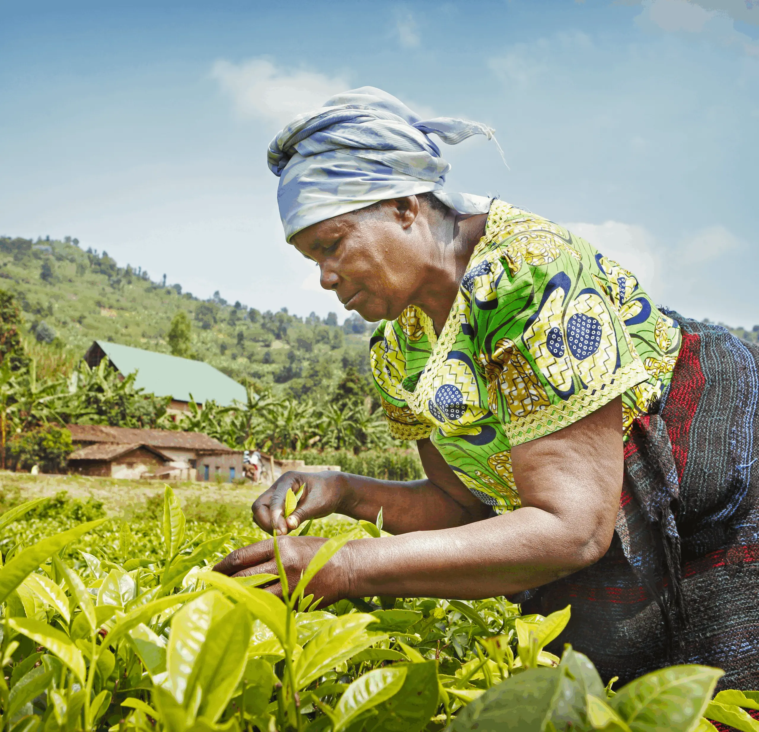
(2024 – 2026) - Cadasta is working in partnership with Landesa and the Rwanda National Land Authority (NLA) on the Agricultural Systems Change Initiative, funded by Co-Impact. This 22-month program aims to improve land administration services, strengthen tenure security, and enhance opportunities for smallholder farmers in Rwanda’s Kayonza, Kirehe, and Nyagatare districts. The initiative focuses on correcting parcel boundary data and updating missing information in Rwanda’s land records. Cadasta is providing technical support and training to young graduates to support real-time, high-precision data collection using GNSS tablets and Esri tools. The program will result in 43,400 corrected parcels and 32,553 parcels with updated ownership data receiving e-titles.
Documenting Artisanal and Small-Scale Mining in Guyana
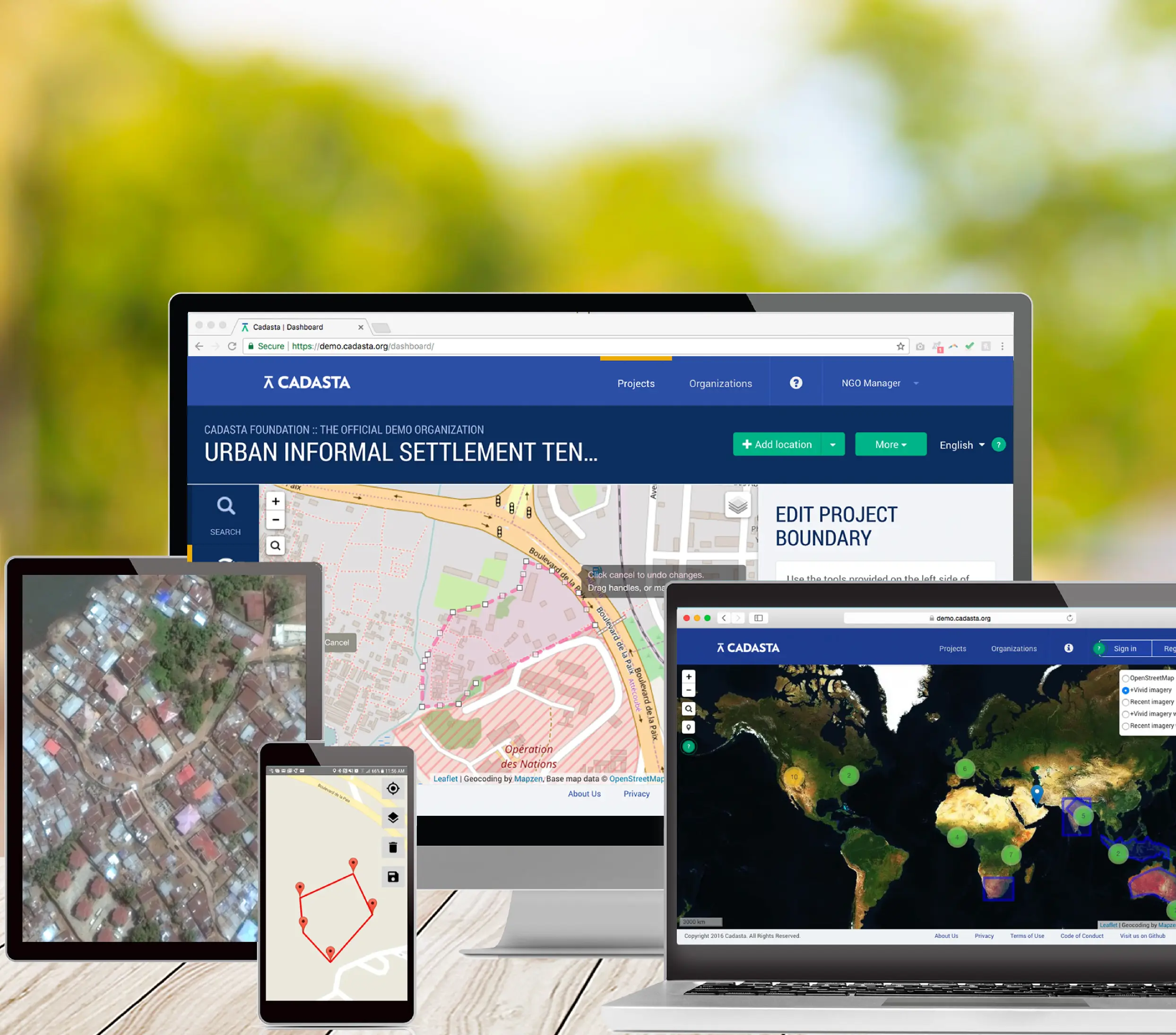
(2021 – 2025) - In partnership with the United States Geological Survey (USGS) and the Government of Guyana, Cadasta developed a collaborative geospatial platform bringing critical land and resource data into one accessible hub. The platform enables users to easily view and analyze curated datasets on small-scale mining leases, concessions, and mining activities, alongside partner data on protected areas, Indigenous community lands, forestry and logging operations, and other natural resources, helping stakeholders make informed decisions for sustainable land and resource management.
Improving Tribal Land Rights through Land-Based Livelihoods with RNBA
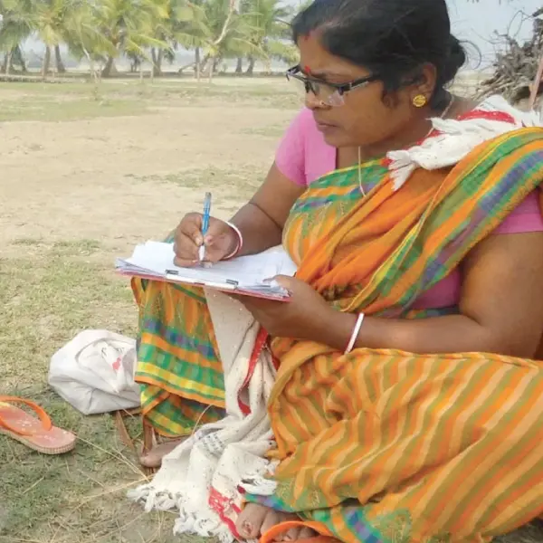
(2020 – 2027) - Cadasta partners with the Rongmei Naga Baptist Association (RNBA) to strengthen tribal land rights and support sustainable livelihoods. We provide hands-on training and technical support to equip RNBA and its partners with the skills and tools to collect, manage, and analyze land and property data using GIS technology. Together, we are documenting land use, improving land management practices, and advancing secure property rights for tribal communities.
Land Reform to Accelerate Agricultural Productivity in Togo
(2022 – 2026) - This project is driving the formal registration and protection of customary and informal land rights for smallholder farmers in Togo to boost agricultural investment and productivity. Working in close collaboration with the Government of Togo and a network of partners, Cadasta is identifying, designing, testing, and demonstrating more efficient, affordable, and accessible methods for smallholders to document and register their land rights. These approaches are tailored to align with local contexts and are designed for integration into the country’s land tenure regulations and decree implementation, ensuring lasting impact for farmers and the agricultural sector.
Supporting Global Monitoring and Evaluation with Tenure Facility
(2021 – 2026) - Cadasta supports the Tenure Facility’s global Monitoring, Evaluation, and Learning (MEL) efforts by providing GIS expertise and strengthening data systems across projects. This includes developing and managing project maps in ArcGIS, advising on data standards and assurance protocols, and guiding partners on effective MEL practices. Through this collaboration, Cadasta helps ensure consistent, high-quality geospatial data to track progress, inform decision-making, and demonstrate the impact of land and resource rights initiatives.